

High Resolution Imagery
High-resolution satellite imagery with a pixel size as small as one meter, offering incredibly detailed views of the Earth's surface.
We are committed to transforming industries through innovative technology and sustainable solutions.
HyperVision is a pioneering company specializing in detecting oil leaks in pipelines with unmatched accuracy. Our expertise lies in:
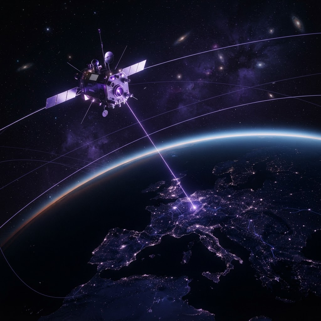
We use advanced satellite systems to monitor vast areas, ensuring quick and precise detection of oil leaks across extensive pipeline networks.
Our proprietary AI algorithms analyze satellite imagery, transforming raw data into actionable insights to pinpoint leaks and assess their severity.
By combining satellite data and AI-powered models, HyperVision delivers efficient, reliable solutions that protect the environment and optimize pipeline operations.
High-resolution satellite imagery with a pixel size as small as one meter, offering incredibly detailed views of the Earth's surface.
Access to historical satellite images, ideal for businesses that need to track changes over time and perform retrospective analysis.
We specialize in detecting oil and gas leaks using a combination of satellite imagery and AI technology.
Data-driven insights for precision agriculture and forest management, helping farmers and foresters monitor crop health, forest density, and land degradation.
Real-time monitoring of water pipelines, ensuring that any leaks or damage are detected early.
Comprehensive reporting and analytics tools that give businesses full visibility into the health of their infrastructure.
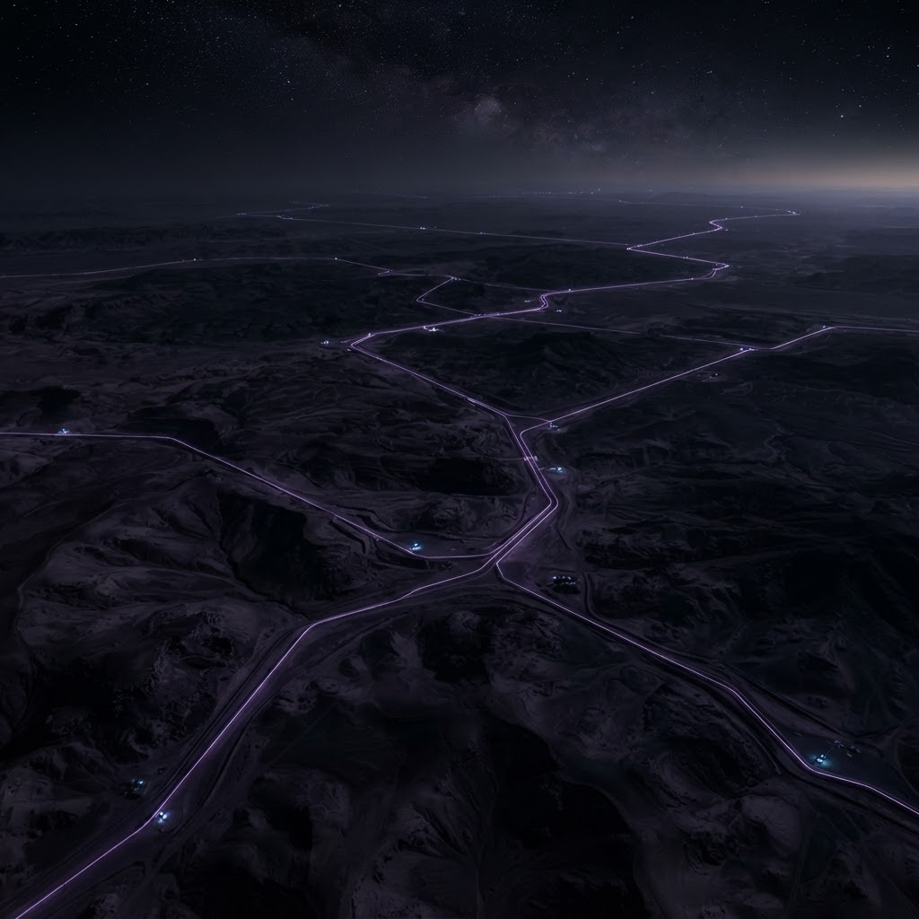
Track long-distance pipeline corridors across remote terrain for signs of disruption.
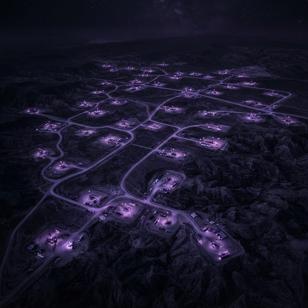
Keep visibility over well pads and access roads spread across large fields.
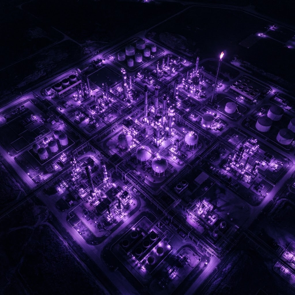
Watch processing plants and compression stations for operational anomalies.
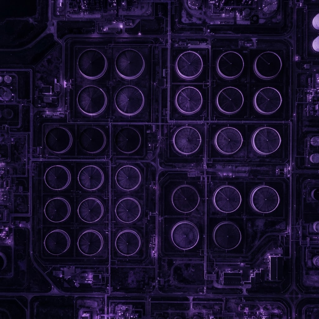
Observe tank farms and storage clusters for changes and integrity risks.
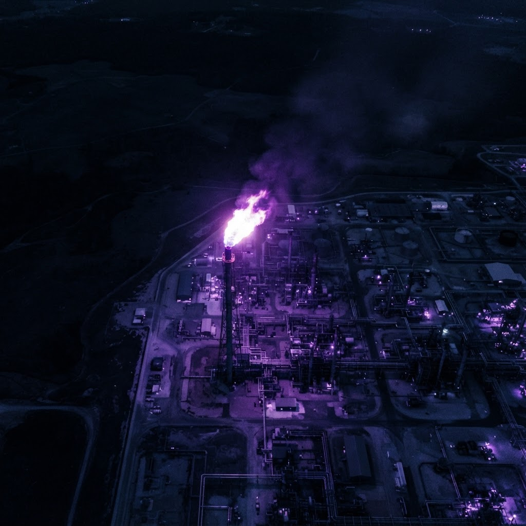
Detect and quantify flaring activity using thermal and optical observations.
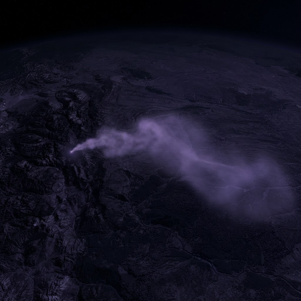
Identify methane plumes and environmental changes around operational zones.
Monitor large and remote operational areas using Earth-observation imagery.
Analyze satellite data to identify unusual patterns, emissions, and potential leaks.
Display pipelines, facilities, incidents, and analysis results on interactive maps.
Deliver clear notifications when the system detects a possible operational or environmental risk.
Generate weekly and monthly reports containing incidents, locations, analysis, and recommendations.
Compare current and previous observations to understand changes over time.
Review operational areas, inspect detected incidents, explore satellite observations, and access reports from one centralized platform.
24
Areas monitored
3
Active alerts
128
Scans this week
Are you ready to learn more or have questions about our services?